
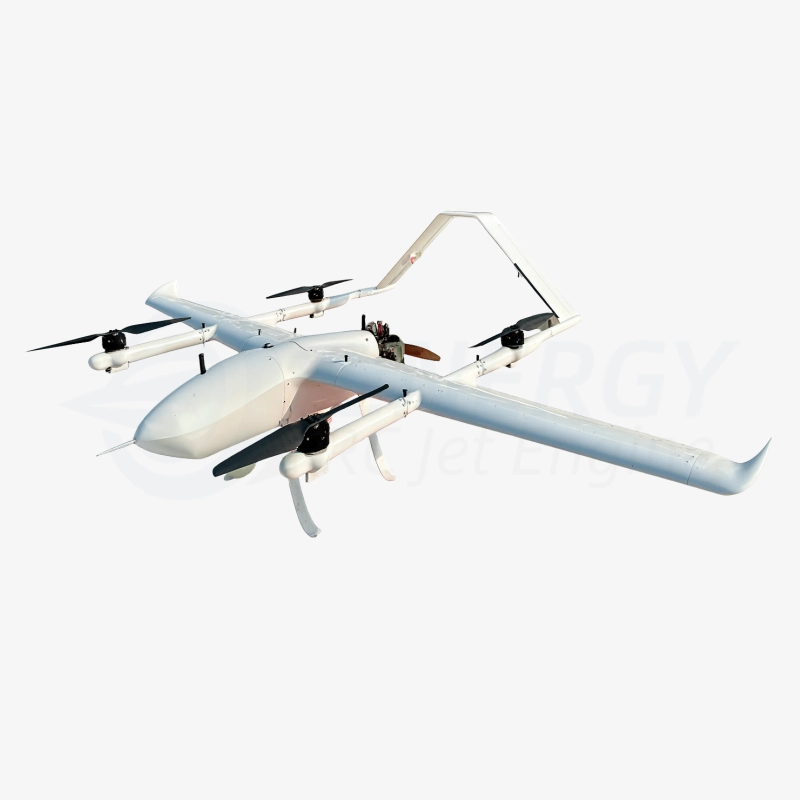
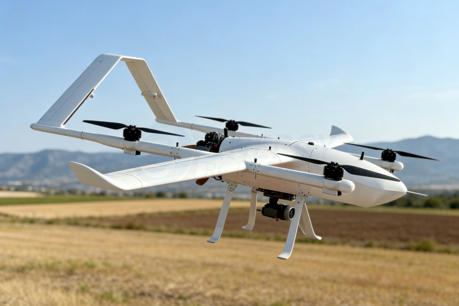
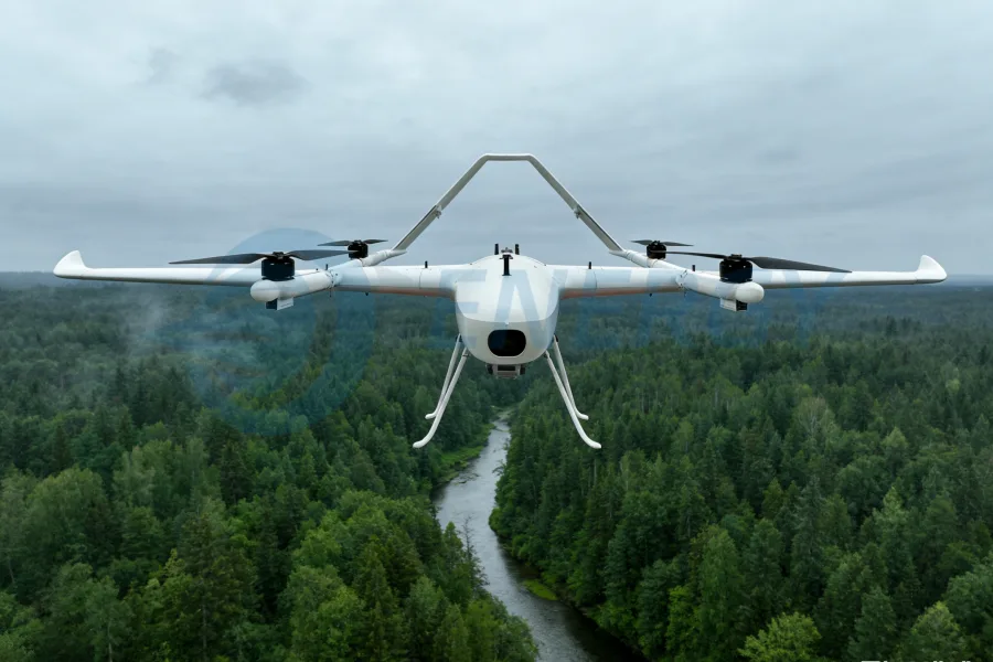
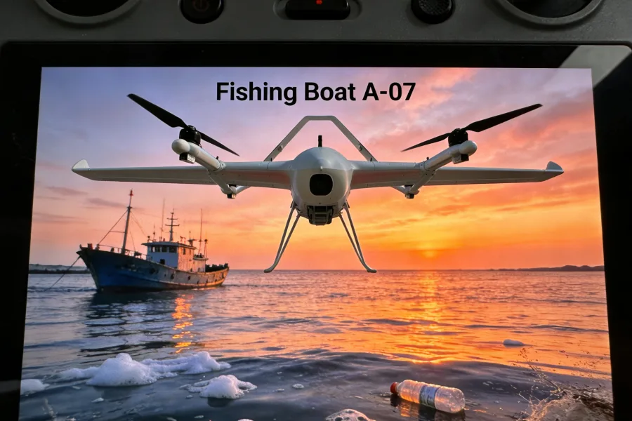
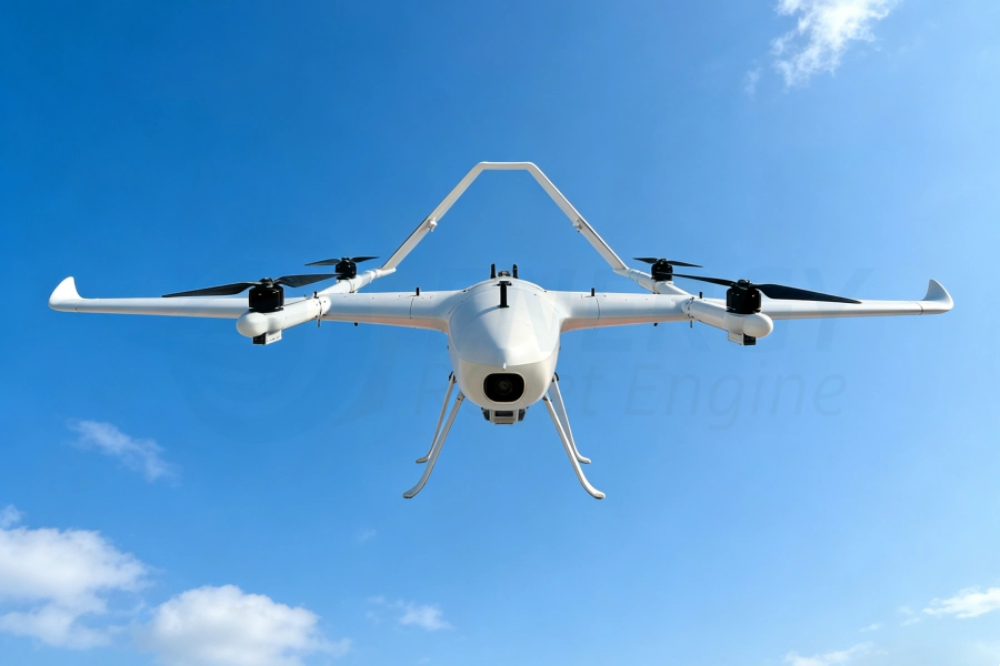
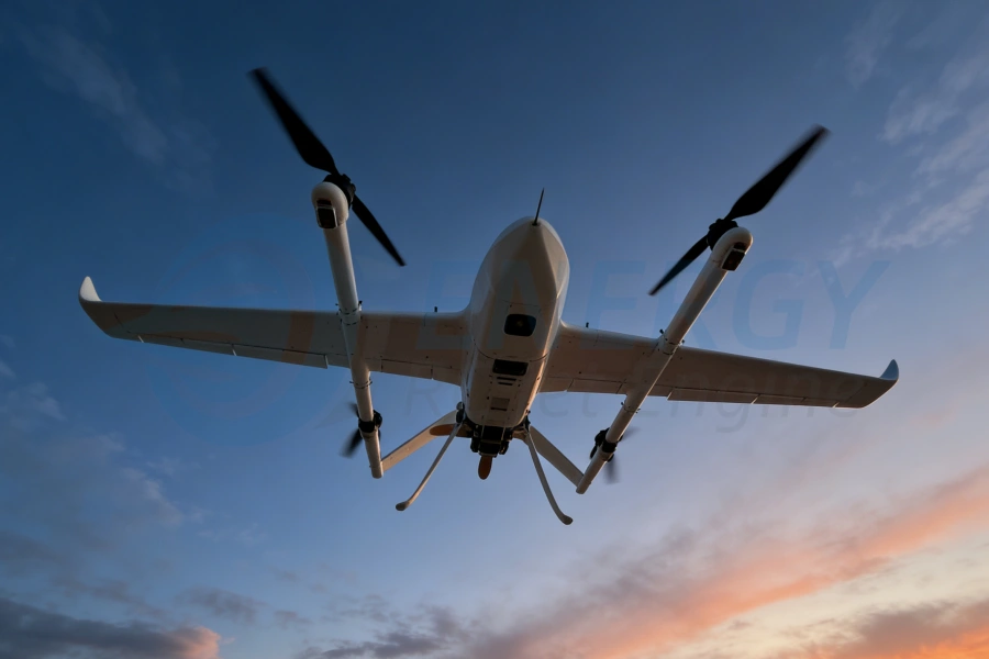
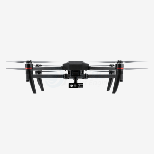
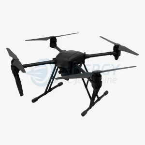
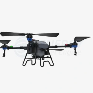
The EN-DFF600, developed by Energy RCJetEngine, is a next-generation vertical takeoff and landing (VTOL) fixed-wing UAV designed for precision industrial surveying, long-range inspection, aerial surveillance, and multi-mission reconnaissance. Combining the versatility of VTOL operations with the endurance and efficiency of a fixed-wing platform, the EN-DFF600 empowers operators to accomplish complex tasks in challenging and dynamic environments. This UAV can operate from moving platforms, land on constrained areas, and carry high-value payloads for accurate target detection, observation, monitoring, and assessment.
Key Features and Technical Advantages
The EN-DFF600 is engineered for maximum operational effectiveness across industrial, commercial, and tactical scenarios. Its combination of VTOL capability, long endurance, and high payload flexibility ensures mission success in a variety of applications:
-
Long-Endurance Flight: Capable of continuous missions up to 8 hours, the EN-DFF600 enables extended aerial operations over large industrial zones, pipelines, energy corridors, or environmental survey areas.
-
High Wind Tolerance: Designed to withstand level 6 winds, this UAV maintains stable flight and precise control in adverse weather conditions.
-
Extended Operational Range: With a maximum range of 800 km, it is ideal for long-distance inspections, wide-area mapping, and cross-border surveillance.
-
Moving Platform Launch & Recovery: Unique VTOL takeoff and landing from moving vehicles, ships, or ground platforms increases operational flexibility in dynamic environments.
-
Satellite Communication Ready: SATCOM-capable for real-time data transmission, enabling remote monitoring, mission control, and integration with command centers.
-
Payload Versatility: Apoios electro-optical and infrared (EO/IR) cameras, mapping sensors, industrial inspection tools, and specialized payloads, making it adaptable to a wide range of missions.
Especificações técnicas
| Parâmetro | Especificação |
|---|---|
| Maximum Takeoff Weight | 80 kg |
| Payload Capacity | 25 kg |
| Cruise Speed | 130 km/h |
| Maximum Endurance | 8 hours |
| Service Ceiling | 5000 m |
| Wind Resistance | Level 6 |
| Operational Range | 800 km |
| Launch / Recovery | VTOL, moving-platform capable |
| Comunicação | SATCOM-ready, real-time data link |
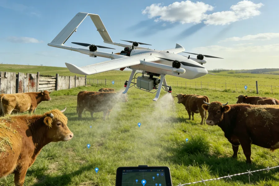
Multi-Mission Industrial Applications
O EN-DFF600 UAV is suitable for a variety of industrial and commercial applications:
-
Aerial Surveillance & Reconnaissance: Track, monitor, and assess industrial sites, borders, or sensitive areas with high-precision observation.
-
Infrastructure & Energy Inspection: Inspect pipelines, power lines, solar farms, wind farms, railways, and transportation corridors efficiently and safely.
-
Precision Mapping & Surveying: Conduct topographic mapping, geospatial surveys, environmental monitoring, and corridor inspections with reliable long-endurance flight.
-
Disaster Response & Emergency Monitoring: Rapid deployment in emergency situations such as floods, wildfires, or infrastructure damage for situational awareness and assessment.
-
Maritime & Mobile Platform Operations: Launch and recover from ships or moving vehicles for offshore or on-the-move inspections.
Design & Operational Advantages
-
VTOL and Fixed-Wing Hybrid Design: Combines vertical takeoff and landing flexibility with the efficiency and speed of a fixed-wing platform, providing superior coverage and operational versatility.
-
Durable & Weather-Resistant Structure: Built to withstand challenging weather conditions, including strong winds, dust, and temperature variations.
-
Long-Range Intelligence Capability: Equipped for long-distance missions, enabling operators to reach remote or difficult-to-access areas without sacrificing endurance or payload capacity.
-
High Payload Integration: Apoios EO/IR sensors, industrial inspection equipment, LiDAR, multispectral cameras, and other custom payloads, enabling tailored solutions for various sectors.
-
Real-Time Monitoring & Data Integration: Compatible with satellite communication systems and real-time telemetry, providing instant mission updates and actionable intelligence.
Industry Applications & Use Cases
-
Energy & Utilities: Inspect pipelines, high-voltage transmission lines, and renewable energy sites to ensure operational safety and prevent downtime.
-
Infrastructure & Transportation: Monitor bridges, railways, highways, and construction zones to maintain safety and track progress.
-
Environmental Monitoring: Map forests, wetlands, and agricultural land for resource management, research, and sustainability projects.
-
Security & Defense: Conduct border surveillance, perimeter monitoring, and reconnaissance missions with stealth and efficiency.
-
Emergency Response: Deploy rapidly during natural disasters or industrial accidents to gather real-time data for decision-making.
Why Choose the EN-DFF600
As part of Energy RCJetEngine’s cutting-edge UAV portfolio, the EN-DFF600 stands out as a reliable, high-endurance, multi-mission aerial platform. Its VTOL capability, long-range performance, heavy payload capacity, and real-time monitoring features make it ideal for operators in industry, government, and defense sectors. Whether performing industrial inspections, corridor surveying, wide-area mapping, or tactical reconnaissance, the EN-DFF600 ensures operational efficiency, accuracy, and safety.
With global availability, the EN-DFF600 is supported for deployment in USA, Brazil, Argentina, Saudi Arabia, UAE, Australia, Germany, France, Kazakhstan, and worldwide, providing industrial and defense operators with a versatile UAV solution for complex missions.
Energy RCJetEngine EN-DFF600 VTOL Fixed-Wing UAV – The Ultimate Long-Endurance Multi-Mission Industrial Drone Platform.
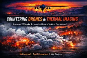
How Smoke Screens Are Used to Counter Drones and Thermal Imaging in Modern Tactical Operations
Introduction: The End of Traditional Concealment In modern tactical environments, the concept of concealment has [...]
Mar
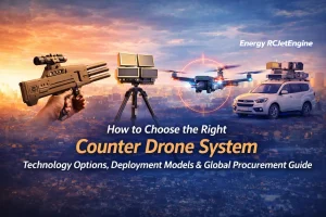
How to Choose the Right Counter Drone System: Technology Options, Deployment Models & Global Procurement Guide
As unmanned aerial vehicles (UAVs) become increasingly accessible worldwide, organizations across multiple industries are facing [...]
Jan
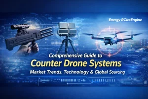
Comprehensive Guide to Counter Drone Systems: Market Trends, Technology & Global Sourcing
In recent years, counter drone systems—also known as Counter-Unmanned Aerial Systems (C-UAS)—have become an essential [...]
Jan
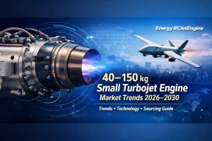
Global 40–150 kg Small Turbojet Engine Market (2026–2030): Trends, Technology & Sourcing Guide
Introduction The global demand for 40–150 kg thrust small turbojet engines is rapidly increasing, driven by [...]
Jan
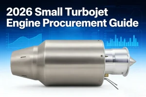
2026 Small Turbojet Engine Procurement Guide: Specifications, Thrust & Factory-Direct Comparison
Introduction As unmanned aerial vehicles (UAVs), target drones, and experimental flight platforms continue to expand [...]
Jan

How to Acquire Small Turbofan Engines in Saudi Arabia A Professional Guide
Small turbofan engines have become increasingly popular for drones, model jet aircraft, and research projects. [...]
Jan
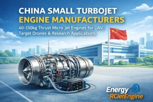
Fabricantes de pequenos motores turbojacto na China: Motores de microjacto com impulso de 40-150 kg para UAV, drones-alvo e aplicações de investigação
Introdução Nos últimos anos, os pequenos motores de turbojacto da classe de impulso de 40-150 kg tornaram-se [...]
Jan
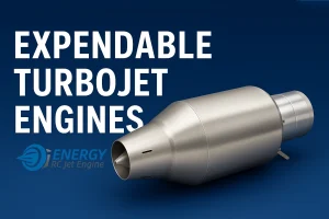
Motores de turbo-reactores dispensáveis para plataformas UAV e aplicações de ensaios aéreos a alta velocidade
Os motores de turbojacto dispensáveis desempenham um papel fundamental nas plataformas não tripuladas de alta velocidade, nos veículos aéreos de teste e [...]
Dez

Avaliações
Ainda não existem avaliações.